LARNAKA DISTRICT
Dipotamos dam Larnaka district, together with Limassol and part of Famagusta, occupy the southern part of the island of Cyprus. Its area of 1.126,1 sq km constitutes 12,17% of the total area of Cyprus, while its population of 143.192 inhabitants represents 16,6% of the population of the free part of Cyprus. The main town of Larnaka district, the homonymous capital, has a population of 51.468 persons, that is 35,94% of the total population of Larnaka district. Larnaka town is the third largest town of Cyprus, after Nicosia and Limassol. Villages and municipalities with a population over 5.000 inh. are: Aradippou (19.228), Dromolaxia (5.064), Livadia (7.206), Xylofagou (6.231) and Athienou (5.017).
Apart from dry-fed crops, irrigated agriculture has recently been improved with the construction of dams and large reservoirs. Moreover, water, through large pipes, was conveyed from other districts to Larnaka, in order to irrigate either the potato-growing villages of Kokkinochoria, in the extreme eastern part of the district, or to irrigate villages south and west of Larnaka town. Fishing has advanced with a number of fishing shelters (Xylofagou, Ormideia, Dekeleia, Larnaka, Zygi and Vasiliko) along the coast. Manufacturing industry is focused on two industrial estates in Aradippou and Pampoula, as well as on the free industrial zone of Larnaka itself. Industrial zones are found in Aradippou, around the harbour and the old oil refinery of Larnaka as well as in Larnaka town itself. Tourism has realised substantial growth in recent years, while three main tourist areas have been established in the district: (a) in Larnaka town as south as the International Airport, (b) around the Larnaka bay up to the coast of Pyla, (c) south of the International Airport, particularly in Kiti, Perivolia and Mazotos. Moreover, apart from the International Airport and the old Oil Refinery, the Power Station of Dekeleia and the second most important harbour of Cyprus are found in Larnaka.
Larnaka, with its mountains, hills and coastal plain, its unique salt-lake, its monasteries and medieval churches, the abundance of ancient monuments, particularly its neolithic settlements at Choirokoitia and Tenta (Kalavasos) as well as the group of villages focused on Lefkara where laces are being made for centuries, constitutes an interesting and attractive district for the travellers.
Larnaka, the successor city of Kitium, one of the ancient kingdoms of Cyprus, developed in the same geographical environs as Kitium. Kitium, according to archaeological and historical evidence, was settled by the Phoenicians during the 9th century B.C. The founding, however, of the city can be traced back to the Mycenean era. Several ancient historical sources as well as recent excavations in the the area have refuted the long-held theories which attributed Phoenician origins to Kitium. Excavations at Kitium have brought to light the most ancient relics, including two shrines and a small quantity of copper scoria, which can be traced back to the 13th century B.C. During the 12th century B.C. reconstructive works carried out by the Achaeans, included the replacement of the original walls of the city with cyclopean walls. Kitium was a Phoenician city between the 9th century B.C. and 312 B.C., at which time it was conquered by the Ptolemies. It would seem that the Phoenician temple of Astarte was built during the first few years of the Phoenician advent in Cyprus. The advances of Alexander the Great against the Persians, the later alliance of the Cypriot kingdoms with Antigonus or Ptolemy and the submission of Kitium to the latter, an event which led to the killing of the king of Kitium, brought about the termination of Phoenicocracy in the city. It is during this period, in 334 B.C., that Zeno of Kitium, the well-known Stoic philosopher and greatest thinker of ancient
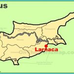
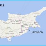
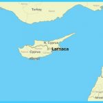
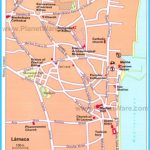
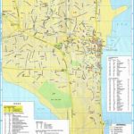
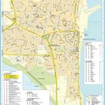
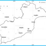
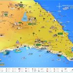
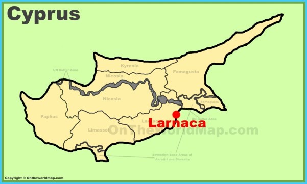
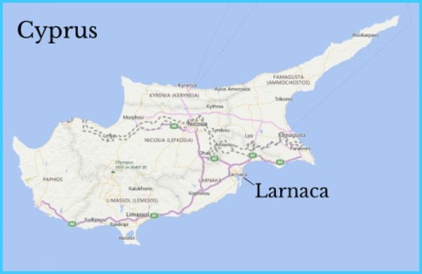
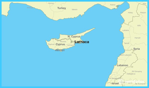
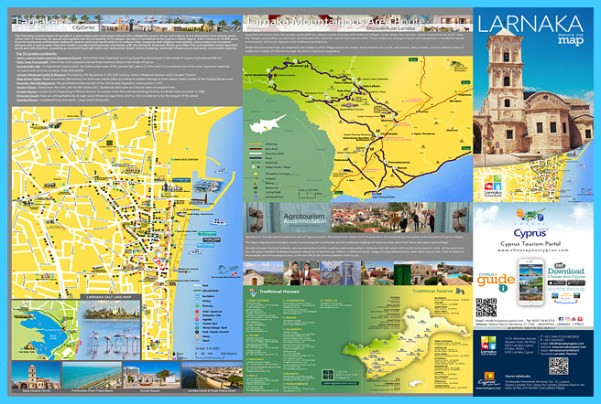
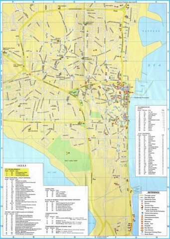
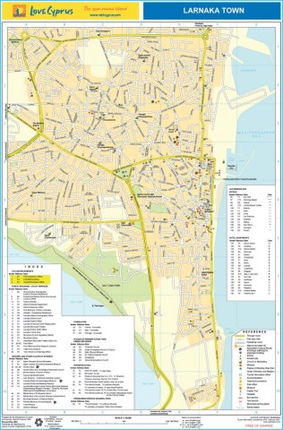
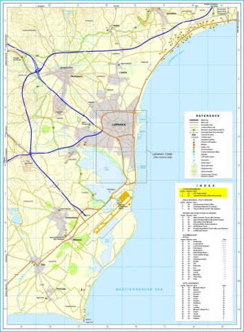
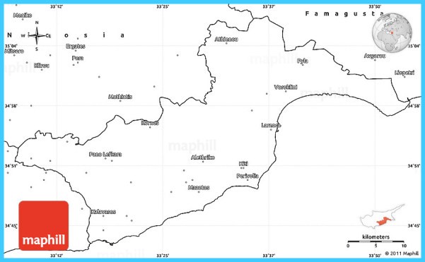
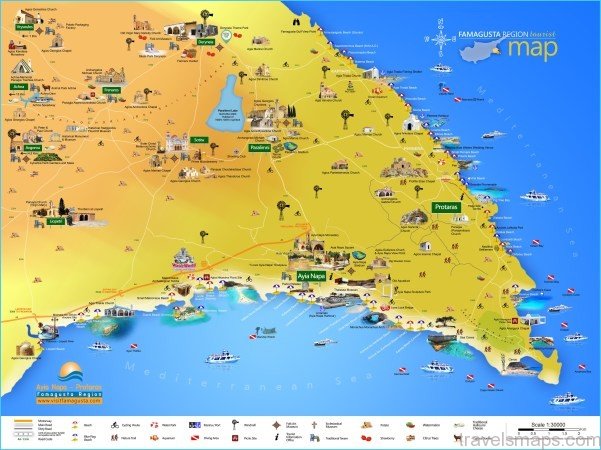
Larnaca Maps. Larnaca area map and Larnaca city map
Cyprus, was born in Kitium. During Hellenistic and Roman times, Larnaka continued its course with no particular shining moments, nor, however, did it fall into decline. An important event, however, is Larnaka’s acceptance of Christianity during the 1st century A.D. and, in particular, the fact that, according to tradition, her first bishop was Saint Lazarus, who settled in the city following his resurrection by Jesus. According to veritable ancient sources, the city kept the name of Kitium during Byzantine times. In the 4th century A.D., however, Kitium, along with other cities of Cyprus, suffered catastrophic damages due to earthquakes, while the calamitous Arab raids between the 7th and the 10th centuries A.D. had serious repercussions on the city. During the Frankish and Venetian periods, the city of Zeno, as Larnaka had become known, and, in particular, the part known today as Skala, was known as “Alykes” or “Salines”, probably because of the lakes and the salt warehouses in the area. During the
Frankish period, as well as the short Venetian period, the salt from the neighbouring lake comprised a substantial income and was one of the main exports of the island. It may have been during this period, though it has not yet been fully ascertained, that “Alykes” also took on the name of “Skala”, originally probably from a French word pertaining to a landing or mooring spot. During the Venetian period, nothing of note occurred in
Larnaka, mostly because the Venetians were more interested in the utilisation of the resources that Cyprus and Larnaka had to offer than the progress and welfare of the city. As a consequence, in 1570 the armies of Lala Mustafa conquered Larnaka unhindered, and the conquest of the entire island followed shortly after that. In spite of the fact that the Turkish rule was accompanied by an administrative system geared towards misery, humiliation and arbitrary decisions, it differed from the previous regimes due to the cosmopolitan nature of the city, especially the presence therein of dozens of consulates, as well as Europeans.
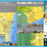
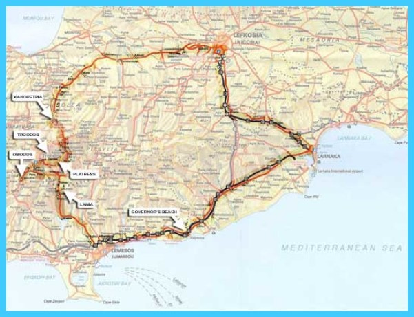
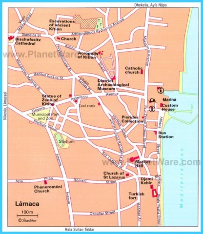
Map of Larnaca Street Map | District Road Map | Larnaca Harbour
Limestone statue of Zeus Keravnios (Kitium), 5th c.B.C (Photo, courtesy of the Dept of Antiquities)
It is possible that the name “Larnaka” was given to the city during the initial stages of Turkish rule, probably due to the discovery of a large number of sarcophagi (in greek “larnakes”) which came to light with the rampant activities of many grave-robbers. Excavations, though, started during the Venetian years and it is possible that the name “Larnaka” was first used during the 15th century. British rule started in July 1878, and the first High Commissioner arrived in Larnaka that very month. The most important occurence of this period was the dissolution of the consulates in Larnaka and their transfer to Nicosia, while, at the same time, the value of Larnaka as a commercial port diminished due to increased competition from the ports of Famagusta and Limassol. Following independence,
Larnaka experienced important developments, most of which bear a direct relevance to the Turkish invasion of 1974. The old oil refinery, next to the large petroleum tanks, was, however, built before the invasion. The Larnaka International Airport started operation during the first months of 1975 while, at the same time, the port of Larnaka became the recipient of increased traffic due to the loss of the natural harbour of Famagusta. The Larnaka industrial estate was heavily invested in, and tourism experienced intense and impressive growth. New large and luxurious hotels were erected to the north and south of the coastal city, resulting in the development of Larnaka into an important center for tourism. At the same time, a substantial number of persons displaced by the invasion settled in Larnaka. As far as the population of Larnaka is concerned, one can note an impressive upward-moving trend from 1881 to the present day. From 7.833 residents in 1881, the population of the city rose to 9.494 in 1931, 14.772 in 1946, 19.608 in 1973, 48,376 in 1982 and 60.593 in 1992. Larnaka is currently an administrative, industrial, transportational, commercial, tourist and educational centre. Besides, it is an employment and athletic centre as well as the seat of the Kitium Bishopric.
ARCHAEOLOGICAL SITES & CULTURAL MONUMENTS
Ancient Kitium. Ancient Kitium lies beneath the buildings of present-day Larnaka. Four excavations on a small scale at different parts of the city have revealed a number of interesting aspects of ancient Kitium. The largest area excavated, to the north of Larnaka, not very far from the city’s Archaeological Museum, known as Area II, permits a glimpse into an important part of the history of ancient Kitium. According to the evidence brought to light from this area of ancient Kitium, the earliest relics date back to the 13th century B.C. Two shrines, one of which can still be seen on spot, belong to this period. Small quantities of copper which have been found, however, point to the fact that copperwork began in the early 13th century B.C. The reconstructive work carried out on a broad scale by the Achaeans during the 12th century B.C., however, contributed to the creation of the most impressive architectural remains in view today. It was during this period that the original walls were replaced by cyclopean walls, made up of two rows of monoliths. The main temple of this period is quite large (35 x22 metres) and is considered the most important temple revealed at Kitium. North of the large temple, one runs across the sanctuary, which contained two sacrificial altars. Another sanctuary is found to the east of the temple, while a copper workshop, dating to 1200 B.C., was unearthed to the northeast. The foundations of two other temples can be seen in the eastern part of the archaeological site. The other important period of the history of Kitium started with the advent to Cyprus of the Phoenicians, mainly for commercial reasons, in the 9th century B.C. The abundant copper deposits of Cyprus and its plentiful lumber led the Phoenicians to this area of the island as well. Although it is known that the large temple was turned into a place of worship for Astarte, the discovery of all the remnants of the Phoenician presence in Cyprus has proven difficult. Even though the Temple of Astarte was destroyed by fire, it was rebuilt and later, during the 7th century, it was renovated and divided into three chambers. The temple was destroyed once again by fire in 312 B.C., around the time of demise of the Phoenician dynasty. Not many objects of the Hellenistic and Roman city remain, even though excavations reveal that a large part of the area had been converted to a bath complex.
Map of Larnaca – Larnaca Map Photo Gallery
Hala Sultan Tekke. The entire building complex of Tekke, comprising the mosque and the minaret, the rooms, the fountains and the gardens, are in the midst of date palms and cypress trees, gloriously reflected in the lake’s unrippled waters during the afternoon hours. From up close, the carved stone of the monument, its cobbled paths, the delicately chiselled stone cornices around the entrances and the arabic inscriptions, are indeed impressive. The cistern used for the irrigation of the garden is still to be seen, while opposite the entrance to the mosque one notices an octagonal structure containing eight water outlets, where pilgrims wash their feet before entering the mosque. The mosque and the minaret do not have anything special to offer except for the arabic inscriptions with references to the Koran. The most significant component of Tekke is, without a doubt, the grave of Um Haram, about which a lot has been written. The tomb is connected with the first Arab raid in Cyprus, carried out by Moab in 649 A.D. Um Haram took part in this expedition. Upon arrival of Moab’s fleet to Cyprus, a mule was given to Um Haram, on which she was to ride to the interior of the island. En route, she fell from the animal and was killed, being buried at that very spot. To some Um Haram was the Prophet Mohammed’s aunt, but research carried out by followers of Islam, proved that Um Haram was the aunt of Anas Ibn Malik, secretary and loyal servant to the Prophet. Um Haram’s tomb, covered by green drapes, is worthy of special note. The site took its present form in 1816. Next to the tomb of Um Haram is the grave of the Turkish wife of the King of Hedjaz, who died in Cyprus in 1929. With the religious splendour attributed to it, Tekke continues to be among the three most important Muslim religious sites after the Ka’aba in Mecca and the Shrine of Mohammed in Medina. Excavations are still being carried out at Tekke, through which findings dating back to the later stages of the Bronze Age are being discovered. Excavations during 1991 have further revealed pottery artifacts dating back to 1075-1050 B.C., possibly pointing to the arrival of immigrants from Greece during that period.
Maybe You Like Them Too
- The Best Places To Visit In North America For Christmas
- Faro Travel Guide: Map of Faro
- Mumbai Travel Guide For Tourists: Map Of Mumbai
- Travel to Budapest
- Thailand Travel Guide for Tourists: The Ultimate Thailand Map

