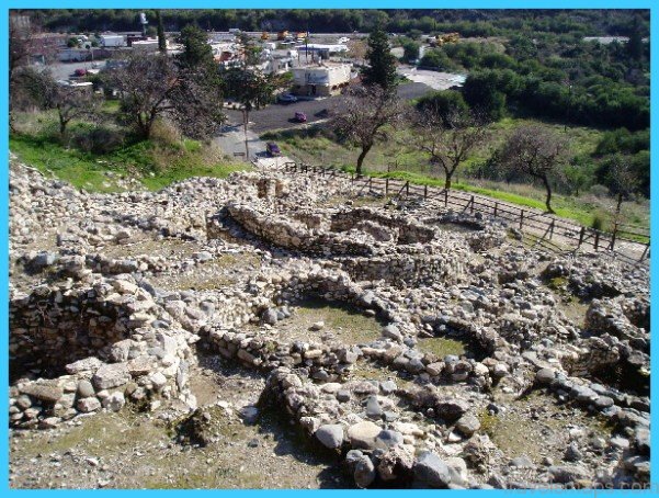
Choirokoitia neolithic settlement
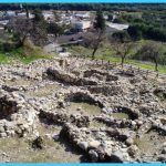
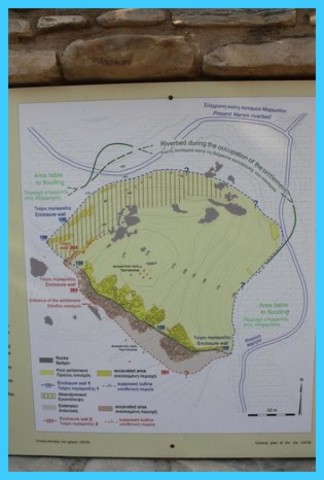
In Choirokoitia history has imposed its presence in nearly every span of land. On the slope of a hill, near the river Maroni, archaeologists have unearthed the neolithic settlement which dates back to the 7th millenium B.C. Since 1936 when archaeological excavations commenced, Choirokoitia became well-known for its circular houses, its stone-built defensive wall and its narrow corridors. The local stone and the pebbles carried by the river were used abundantly, while the first inhabitants of the neolithic settlement knew very well how to cultivate the land and how to tame wild animals. In addition, they were engaged in hunting and fishing.
This very ancient community was well organized and highly developed. Their burial customs exhibit respect to the dead persons. Besides, some findings made of raw material not available in Cyprus, like obsidian, haematite or other precious stones, witness the trading relations and contacts of the settlers with neighbouring countries. Close to the river with running water, the valley, a few flat lands and the slopes provided a variety of soils and crops.
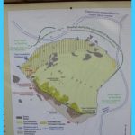
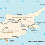
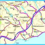
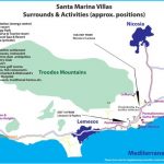
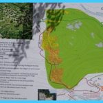
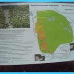
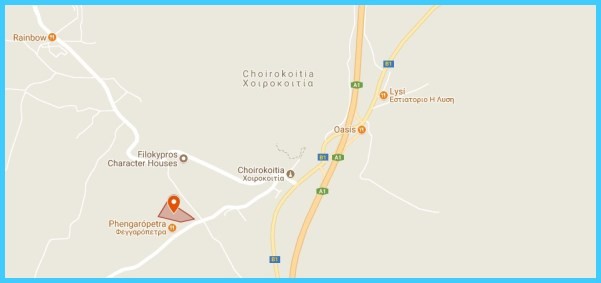
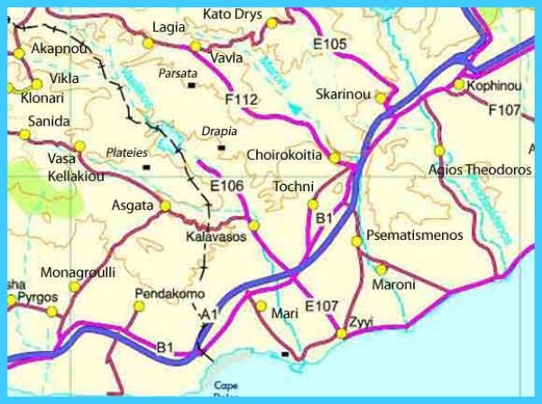
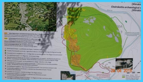
Map of Choirokoitia – Choirokoitia Map Photo Gallery
Stone bowl from Choirokoitia (Photo, courtesy of the Dept. of Antiquities)
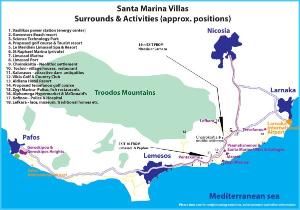
Choirokoitia Choirokoita Map | Choirokoitia Choirokoita Entertainment
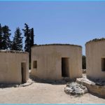
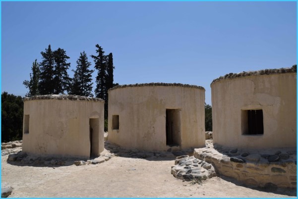
Safety was secured by the location on a slope with wide visibility. On the stone foundations of the circular house, most probably baked bricks were added, while on top of the roof, branches and leaves of trees were spread. Most probably in the middle of the house a wooden beam was used to support the roof. Certainly, the hard igneous rocks which the river carried down on its bed from the mountains, were worked out for the production of tools, like flour mills, axes, etc. Close to the bank of the river, a reproduction of five neolithic dwellings allow the visitor to study, in detail, the circular houses of the Neolithic Period. The building material, the roof, the narrow corridors and the interior of the dwellings afford adequate information of the everyday life of neolithic Cypriots. The neolithic settlement of Choirokoitia has recently been included in the world heritage list of monuments. It is often mentioned that Choirokoitia is the place where Isaakios Komninos, king of Cyprus, met Richard Lionheart, the king of England, in the 12th century, in order to discuss their differences. The inhabitants of present-day Choirokoitia talk about the tower of Rigaina, where “the queen of Cyprus” lived during the Middle
Ages. This tower, cited by Machairas, most probably was built by the Templars and later on by the knights of St.John, since Choirokoitia constituted part of the Grand Commandery. The battle of Choirokoitia, took place between Saracens and lanus, the Frankish King, who was utterly defeated. Today a hill, where the battle took place, with a steep northern side, is known as “Kremmos tous Frankous” (Precipice of the Franks), because, as often is written, from here the Saracens threw the army of lanus. Close to the battlefield are the fragmentary ruins of a large vaulted hall, called by the villagers “serai”. It is here that the king was taken prisoner. Close to the ruins is a small medieval church dedicated to Panagia tou Kampou (B.V.M. of the Plain). Most probably the church was built by the Templars. It is single-aisled, domed, built with hewn limestone blocks and currently restored. Two layers of frescoes are noticeable with most of the paintings destroyed. It is worth mentioning that at Choirokoitia, close to the juction of the old and new Nicosia-Limassol road, lies the water refinery of Choirokoitia, built in 1974. Tochni is connected with Agia Eleni, mother of king Constantine, who according to tradition, built the church of Holy Cross in the village. Agia Eleni, on her return from Jerusalem, was driven ashore at Zygi at a place known today as Vasilopotamos. Apart from the construction of a church at Stavrovouni, she built the church of Tochni as well. Currently, the restored church, located on the original bridge, retains with its bulk and the details of its architectural structure, its original glory. Its peculiar dome, its impressive iconostasis, the sculptured belfry and the precious icons entice the visitor. Judging from what Gunnis writes, that the present church of Tochni was completely rebuilt in the nineteenth century, most probably the only feature retained since the first centuries of Christianity, is the bridge over which the church is founded. Almost opposite the Holy Cross church lie the ruins of a medieval church, built in Gothic style, dating from the fourteenth century.
Route: Dromolaxia, Meneou, Kiti, Perivolia, Tersefanou, Softades, Kivisili, Mazotos, Alaminos, Anafotida, Aplanta
Maybe You Like Them Too
- The Best Places To Visit In North America For Christmas
- Faro Travel Guide: Map of Faro
- Mumbai Travel Guide For Tourists: Map Of Mumbai
- Travel to Budapest
- Thailand Travel Guide for Tourists: The Ultimate Thailand Map


