Inside Agia Napa monastery
Marine Life Museum. The Marine Life Museum of Agia Napa, at 26 Agia Mavri str, Agia Napa Municipality, is the first of its kind in Cyprus, housing shells as well as other specimens of Cyprus’ marine life. The museum exhibits shells from the unoccupied part of Cyprus, turtles which periodically visit Cyprus and birds endemic to the island as well as marine migratory birds.
Communal stadium. The stadium of Agia Napa, with a capacity of 1000 spectators, caters for football and athletics.
EXPLORING THE AREA WEST OF AGIA NAPA
Ancient tomb near Agia Thekla chapel
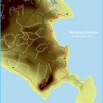
Makronisos Tourist Area. About 5km west of Agia Napa the visitor encounters an entirely new touristic corner, known as Makronisos. The word “Makronisos”, literally means “long island”. Makronisos, however, is not an island. It has joined up with the main land in such a way that the visitor cannot discern the original island. Initially and in recent centuries, an elongated island lay parallel to the coast, much in the same way the isle at Nissi Beach, to the east, is today. The movement of the waves and the currents, as well as the carrying of the sand by the winds, covered the narrow expanse of water in such a way that it is not possible for one to readily appreciate the fact that there once was an island in the area. Today, instead of the sea, the visitor can make out two beaches of fine white sand. The initial island may have been higher but extensive quarrying has taken place in the past so that today, in certain parts, its base is almost at a level with the sea. The abundance of ceramic shards found on the island testifies habitation of the island during historical times. On one corner of the island, one discovers looted graves, dug out of the limestone with three vertical sides and a hole in the middle. Agia Thekla Chapel. About 7km west of Agia Napa the traveller comes across a whitewashed modern chapel dedicated to Agia Thekla. It is located on a hummock, a few metres from the seashore, dominating the surrounding area. It is not absolutely certain whether prior to the chapel there existed in the area an ancient monastery, an information passed on to us by Kyriazis and Sakellarios. It is, however, true that recently a monastery was functioning here. Just a few metres south of the isolated chapel, one can discern the foundations of an old Christian basilica, most probably of the 6th century A.D. About 20 metres southwest of the chapel there is a strange cave cut on the calcarenite rock, about 7,5 metres in length with three notches on each side. Most probably it is a family tomb which goes back to the Roman times. Later on the tomb was converted to a place of worship. Other smaller tombs, not so significant from the architectural point of view, are situated around the chapel.
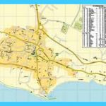
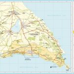
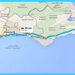
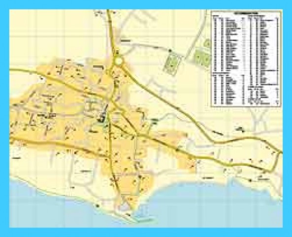
Map of Ayia Napa Photo Gallery
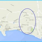
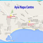
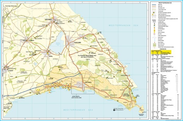
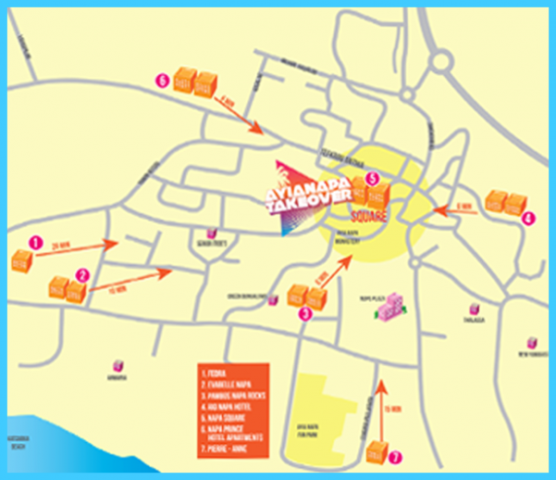
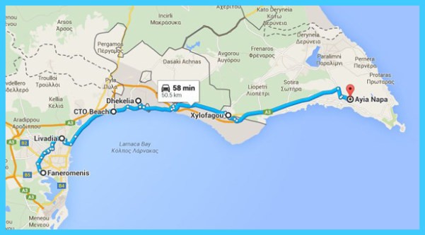
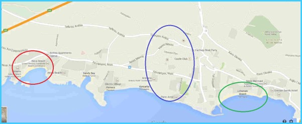
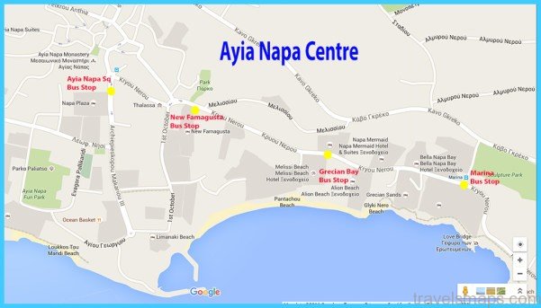
Map of Ayia Napa – Hotels and Attractions on a Ayia Napa map
Potamos (Liopetri), a unique fishing shelter
Potamos, only 11km west of Agia Napa, is situated in an idyllic place which is claimed by two villages, Liopetri and Xylofagou, simply because it lies exactly between the two. The river of Liopetri, small and dry in the summer, as usual, opened its valley down to the sea to the present location of Potamos. The sea, however, could not have penetrated inland in such a way without the artificial deepening of the valley. To appreciate the grandeur of this location, one must start his exploration from the sea and, if possible, on foot. At the end of the valley where the river meets up with the sea, there is a small beach with fine, white sand. It is composed of sea shells disintegrated into minute fragments. Along the length of the river, which has been transformed into a large fishing harbour, you come across many multicoloured fishing boats. The fishermen have constructed small quays, sometimes out of wood and sometimes made of stone, on which they moor their boats. The large number of fishing boats and the constant fishing activity has given rise to the setting up of several restaurants and recreational spots in the area, where the visitor can enjoy fresh fish for a midday or evening meal. Potamos, with its colour and beauty, is a constant inspiration to artists and writers, seduces a large number of visitors every year and, through its uniqueness adds more variety to an already rich and varied Cypriot scenery.
Fisherman at work
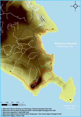
Travelling from Agia Napa to Gkreko and Konnos. East of Agia Napa, at a distance of about 7km, lies the imposing Cape Gkreko. The area between Agia Napa and Cape Gkreko is made up of successive small headlands, gently lapped by the waves and semicircular inlets, whose fine sand is rarely touched by the water. Upon approaching the Cape, the natural vegetation is always alluring and is represented by thyme, wild carob, juniper and thorny gorse. This natural vegetation becomes denser as you approach Cape Gkreko, where the juniper, in its dark green attire, is chiefly predominant. The position of the Cape, directly opposite the Arab countries, was the main reason that a relay station for Radio Monte Carlo, or Somera, was set up at the spot. Its aerials and supporting structures add a particular colour to the natural and pristine scenery. The station was set up in 1970, following an agreement with the Cyprus
Government and has a high output and receptiveness, greater than that of the Cyprus Broadcasting Corporation. The British radar installations do not function anymore. Cape Gkreko or Pidalion is mentioned by Strabo: “The headland known as Pidalion is overlooked by a harsh, tall, trapezoid hill, sacred to Aphrodite…” This description is not too different from what we see today. The most impressive aspect of Cape Gkreko is its geomorphology: its sheer vertical cliffs which at parts appear perpendicular to the sea, a few marine terraces and particularly the thin stretch of land towards the sea, where the true cape lies.
Maybe You Like Them Too
- The Best Places To Visit In North America For Christmas
- Faro Travel Guide: Map of Faro
- Mumbai Travel Guide For Tourists: Map Of Mumbai
- Travel to Budapest
- Thailand Travel Guide for Tourists: The Ultimate Thailand Map

